Identity of the place
Extensive arc of beaches south of the Tagus, with different access, surveillance and conditions per section.
On the ground
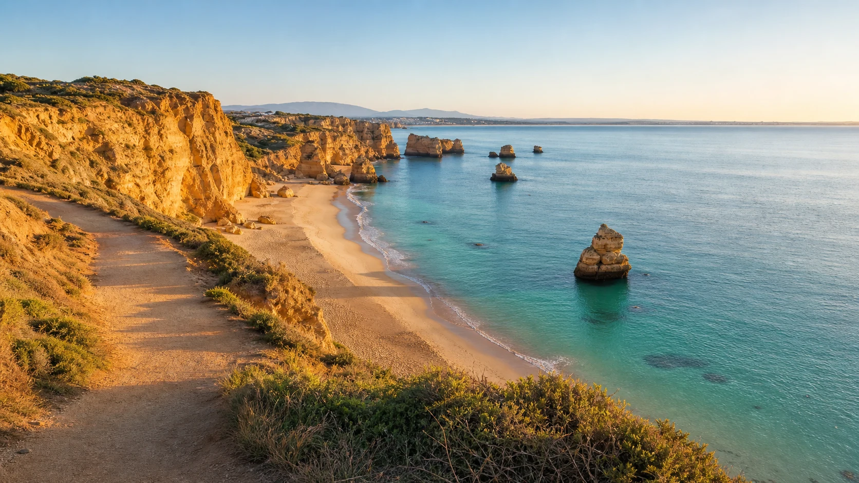
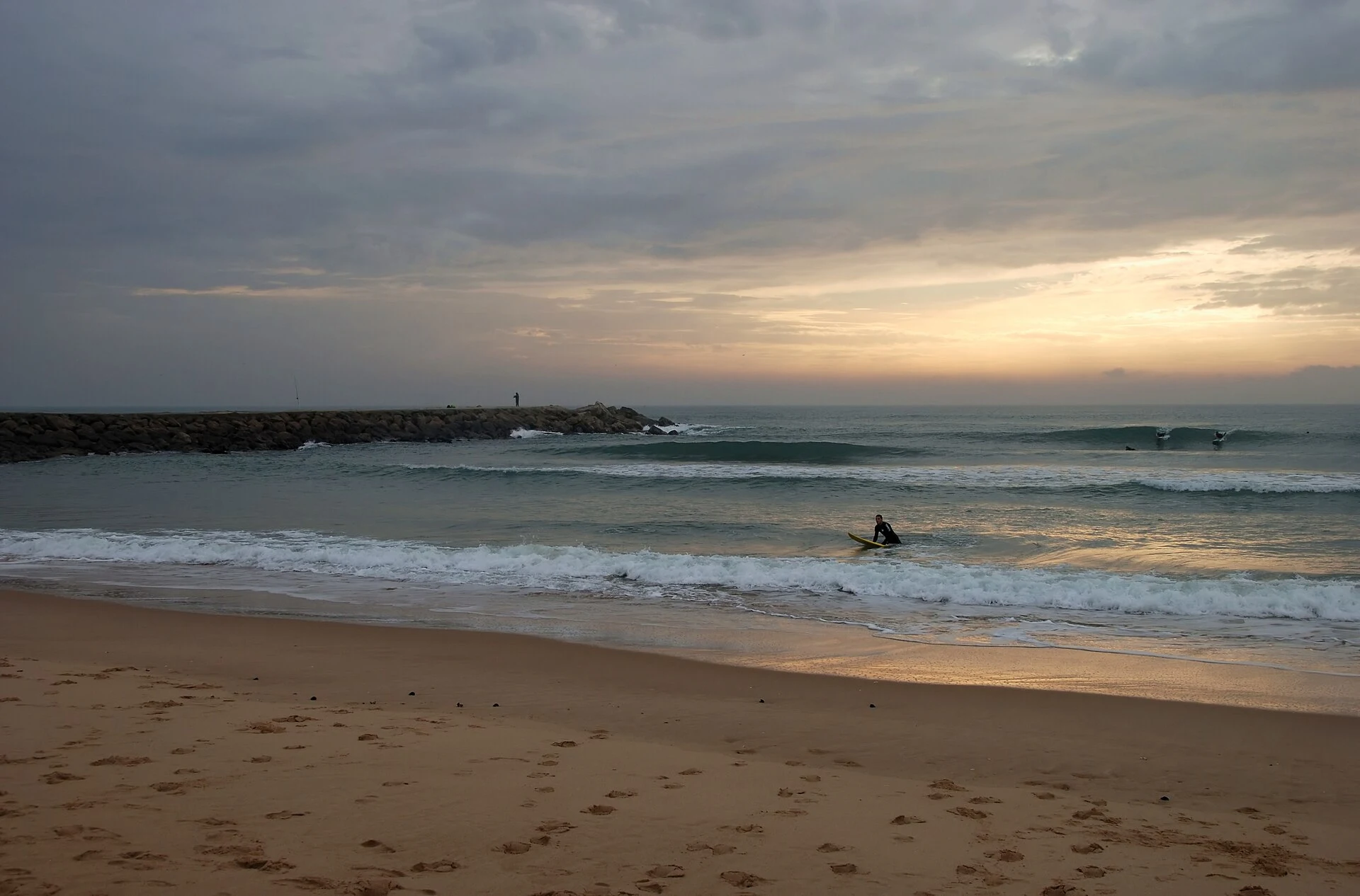
In Praias da Costa da Caparica, the shape of the sand, the orientation to the Atlantic and the presence of dunes, rocks or cliffs affect the use of the beach. The landscape changes with tide, wind and swell; prepared accesses simultaneously protect visitors and fragile coastal systems.
The coastal front includes urban beaches and more natural sectors, with different support and surveillance. Confirm seasonal transport, avoid shortcuts on the cliffs and anticipate traffic on hot days.
How to integrate into the route
Plan Praias da Costa da Caparica as a coastal stop associated with Almada, choosing access and parking in advance. Avoid combining too many beaches on the same day and always keep an alternative without swimming if the sea or surveillance do not offer conditions.
Information to be confirmed
Before visiting Costa da Caparica Beaches, consult the responsible entity to confirm opening or bathing classification, access, tickets when applicable, transport and temporary alerts. These elements vary and should not be confused with the permanent historical, geographic or heritage facts presented in the form.