
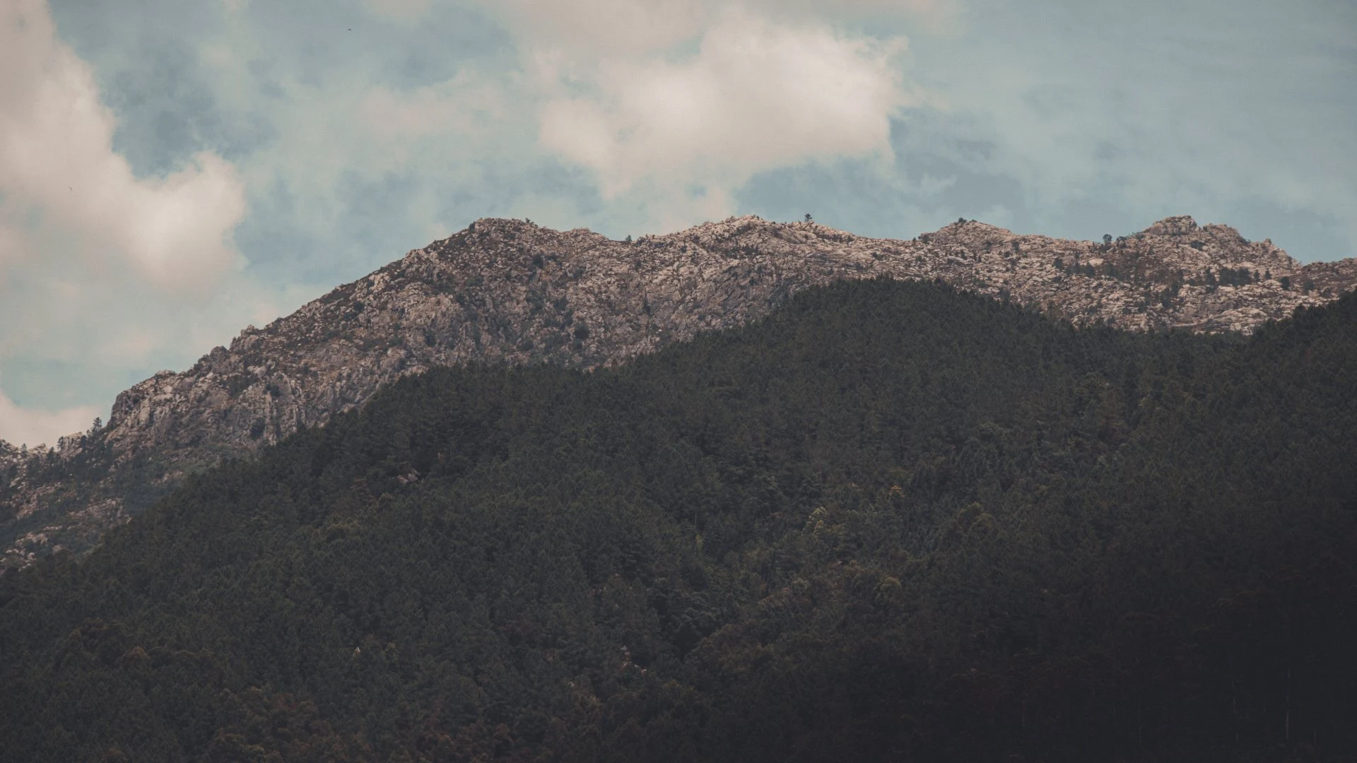
Choose the right base
The National Park covers 69,592.50 hectares and is far larger than Gerês village. This four-day plan divides the territory into sectors. Check ICNF notices, weather, fire risk and road restrictions.
Day 1 — Soajo and Mezio
Begin at the Mezio gateway and Soajo. Visit the granaries respectfully and choose one official trail suited to daylight and ground conditions.
Day 2 — Lindoso and the Lima valley
Visit Lindoso castle and granaries, allowing time for authorised stops along the valley. Mountain and dam roads are not shortcuts for an overloaded day.
Day 3 — Campo do Gerês
Use Campo do Gerês to understand the central mountains. Traffic around Mata da Albergaria and Portela do Homem may be restricted; check current rules and park only where authorised. Waterfalls do not guarantee safe bathing.
Day 4 — Montalegre and Mourela
Continue to Barroso, Montalegre castle and the Mourela plateau. Winter ice, snow and fog can transform travel times.
Responsible travel
Use authorised trails, carry water and take rubbish away, keep clear of livestock and wildlife and never light fires or camp outside designated sites. Do not plan the national park as one continuous loop of nearby attractions. Peneda and Soajo, Campo do Gerês, Lindoso and Pitões das Júnias belong to different sectors. Check fire restrictions, road conditions and official trail status each morning, and keep a lower-altitude alternative.