Identity of the place
Regional network of hiking trails on volcanic islands, subject to weather and closures.
On the ground
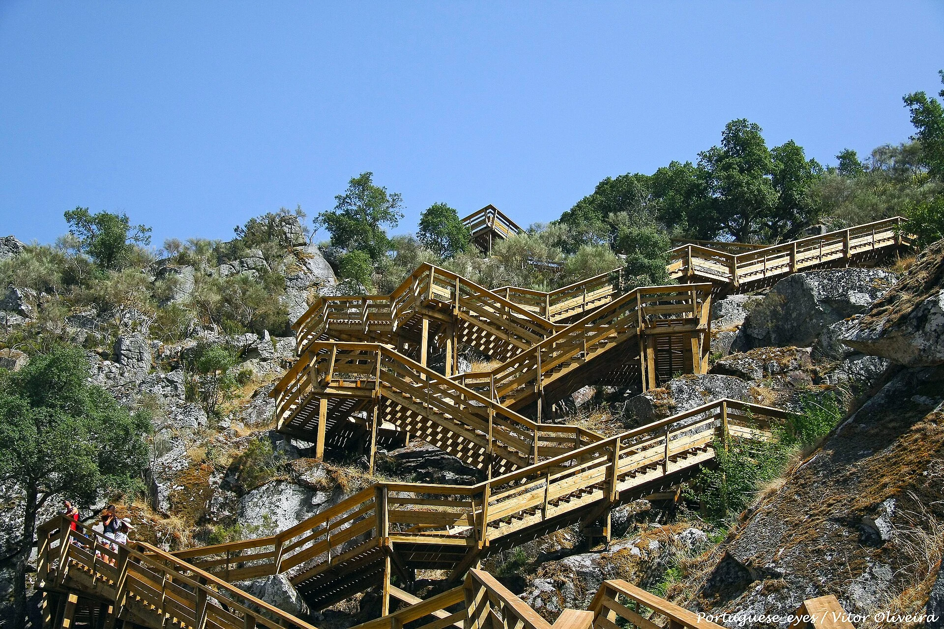
Trilhos dos Açores must be evaluated based on the actual route and not just the advertised distance. Level difference, type of surface, exposure to wind or sun, available water and possibility of return determine the effort and can change radically between sections or seasons.
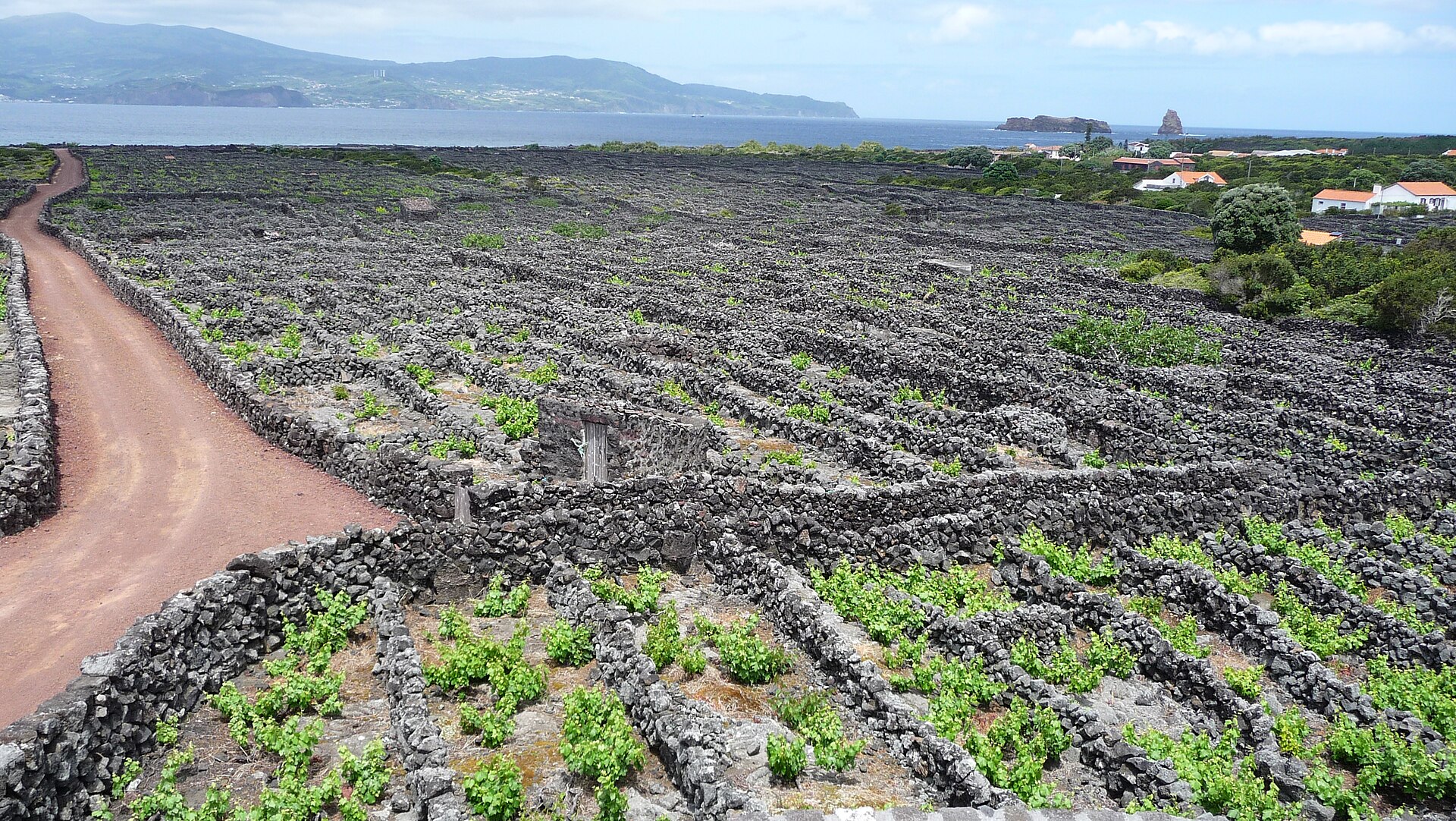
The routes are distributed across nine islands and present very different conditions. Fog, rain and erosion can cause closures; consult the official information for each trail on the same day.
How to integrate into the route
Prepare Trilhos dos Açores as the main activity of the period, with a defined starting point, end point and return transport. Don't add another demanding hike to the same day and keep a short alternative for adverse weather, closures or fire risk.
Information to be confirmed
Before visiting Trilhos dos Açores, consult the responsible entity to confirm opening or bathing classification, access, tickets when applicable, transport and temporary alerts. These elements vary and should not be confused with the permanent historical, geographic or heritage facts presented in the form.