A circular route through the North
Rota Norte is a registered tourist project that presents a circular circuit of around 777 km, connecting national roads such as the EN103 and EN222 and crossing Minho, Trás-os-Montes, Douro and Porto.
What this guide does
This is an independent editorial framework, not an official map nor a reproduction of the GPX track. For the full route, passport, stamps and partners, always consult the Rota Norte project.
Recommended pace
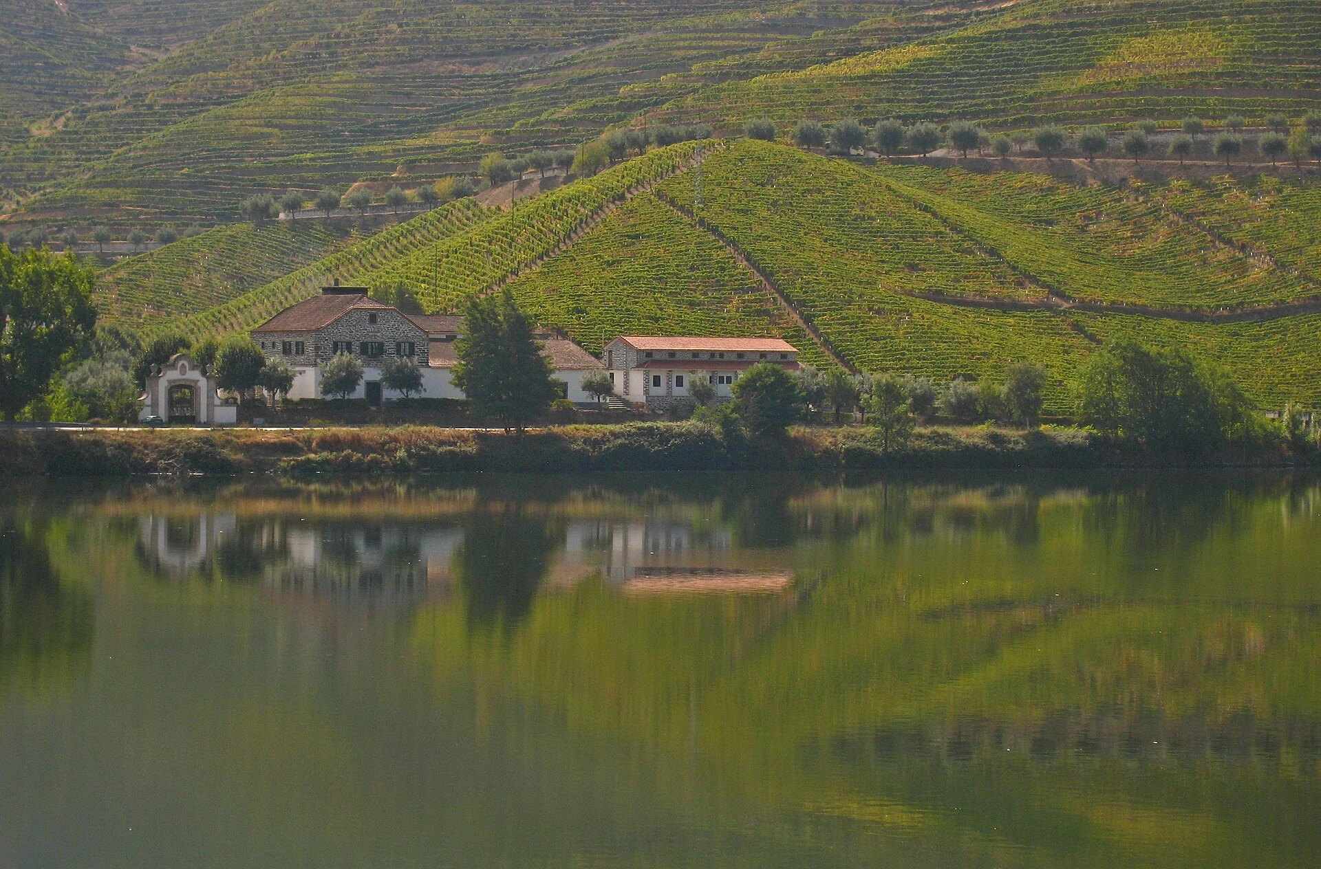
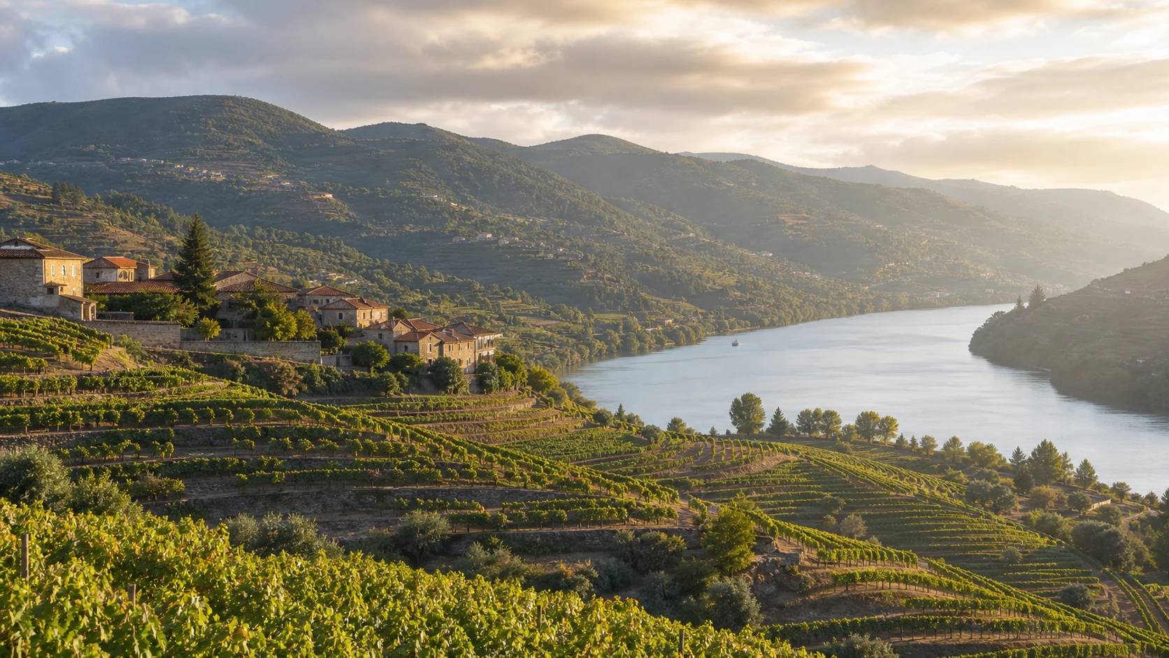
Allow at least seven or eight days. Distribute the trip between Minho and Gerês, Chaves and the Trás-os-Montes border, Bragança and Douro Internacional, Vale do Côa, Douro Vinhateiro and return to the coast of Porto.
Landscapes and driving
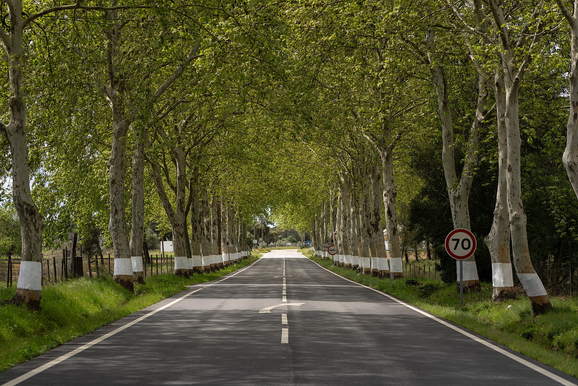
The circuit alternates coast, mountain, plateau, embedded valleys and winding roads. In winter there may be ice or snow inside; in summer, heat and risk of fire. Confirm day conditionsryly.
Responsible use
Do not copy or redistribute project maps, logo, passport or GPX. Book experiences directly with legitimate operators and respect protected areas, settlements and properties.
Build coherent steps
The length of the circuit does not justify accumulating kilometers. Separate the Minho coast and the Lima valley, Gerês and the EN103, the Trás-os-Montes plateau, the Douro Internacional, the Côa valley and the Douro wine region. Each block has a different climate, relief and density of services. An additional night inside reduces night driving and supports accommodation, restaurants and local commerce.