Much more than Régua–Pinhão
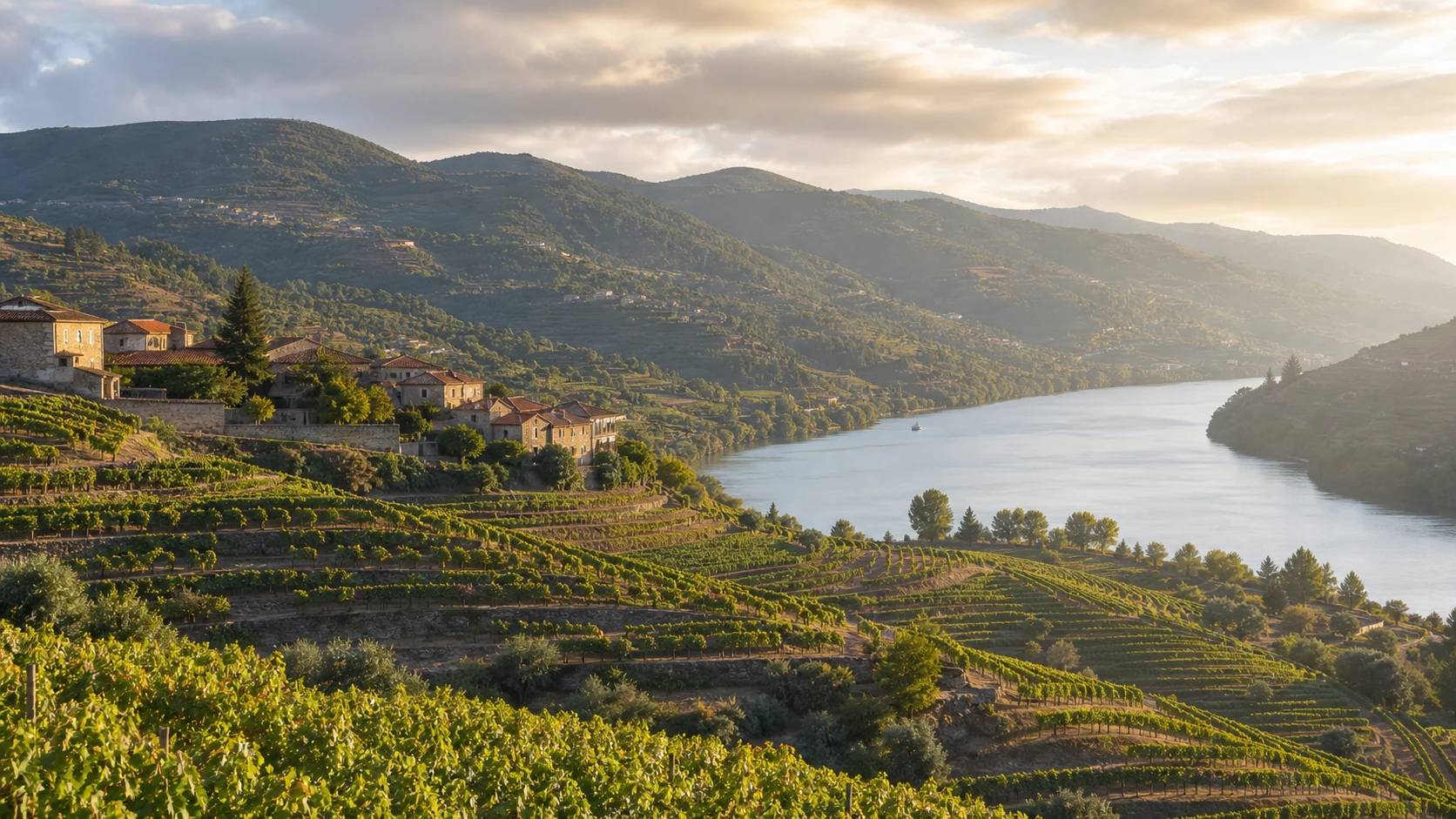
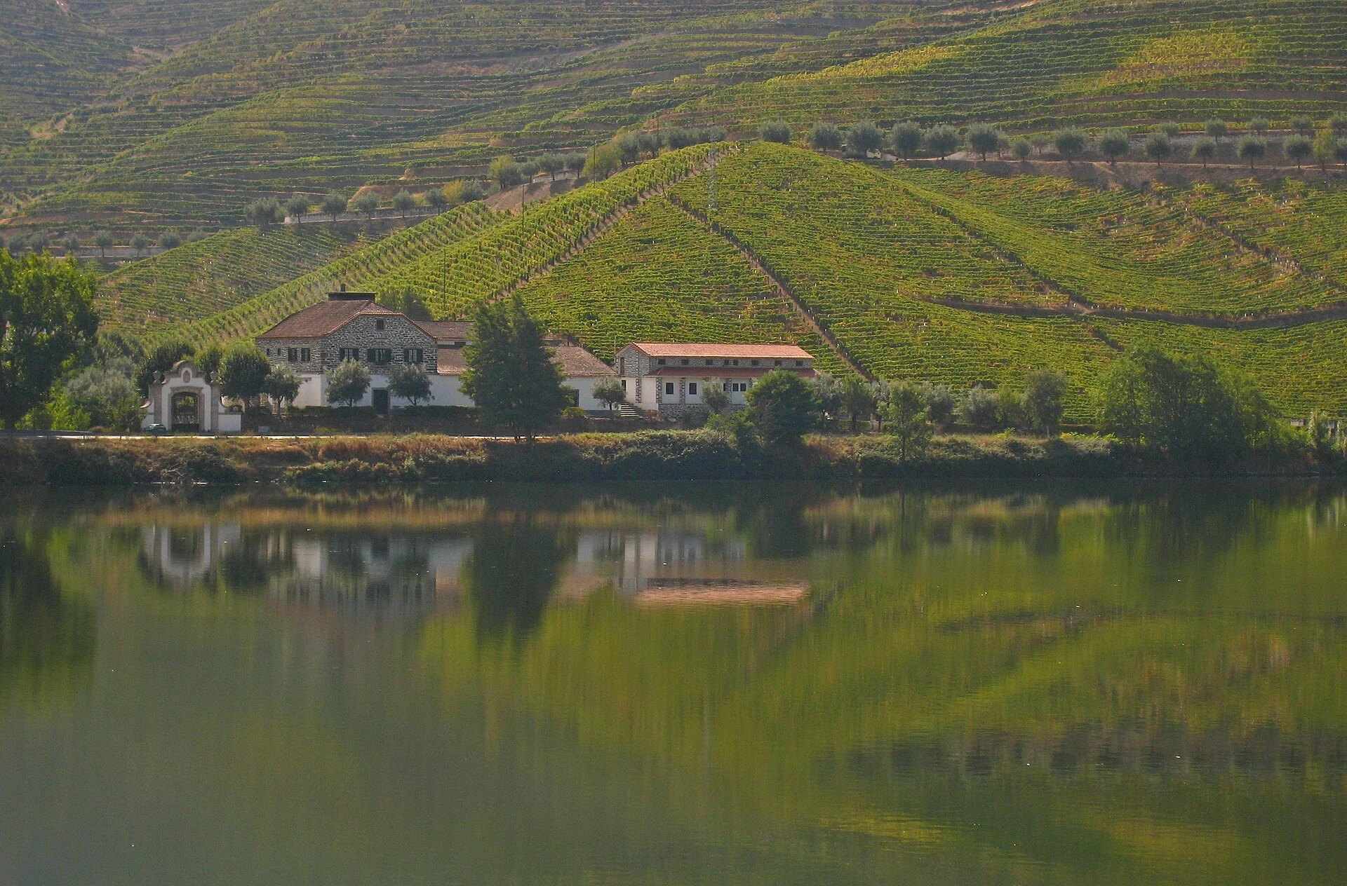
The EN222 connects Vila Nova de Gaia to Almendra, in the municipality of Vila Nova de Foz Côa, over more than 200 km. The Régua–Pinhão section is the best known, but the complete road crosses urban territories, valleys, vineyards and inland areas.
How to split the trip
Allow three or four days. Start between Gaia and Castelo de Paiva; advance through Resende and Peso da Régua; dedicate a day to the Régua–Pinhão and São João da Pesqueira axis; end in Vila Nova de Foz Côa and Almendra.
Driving in Douro
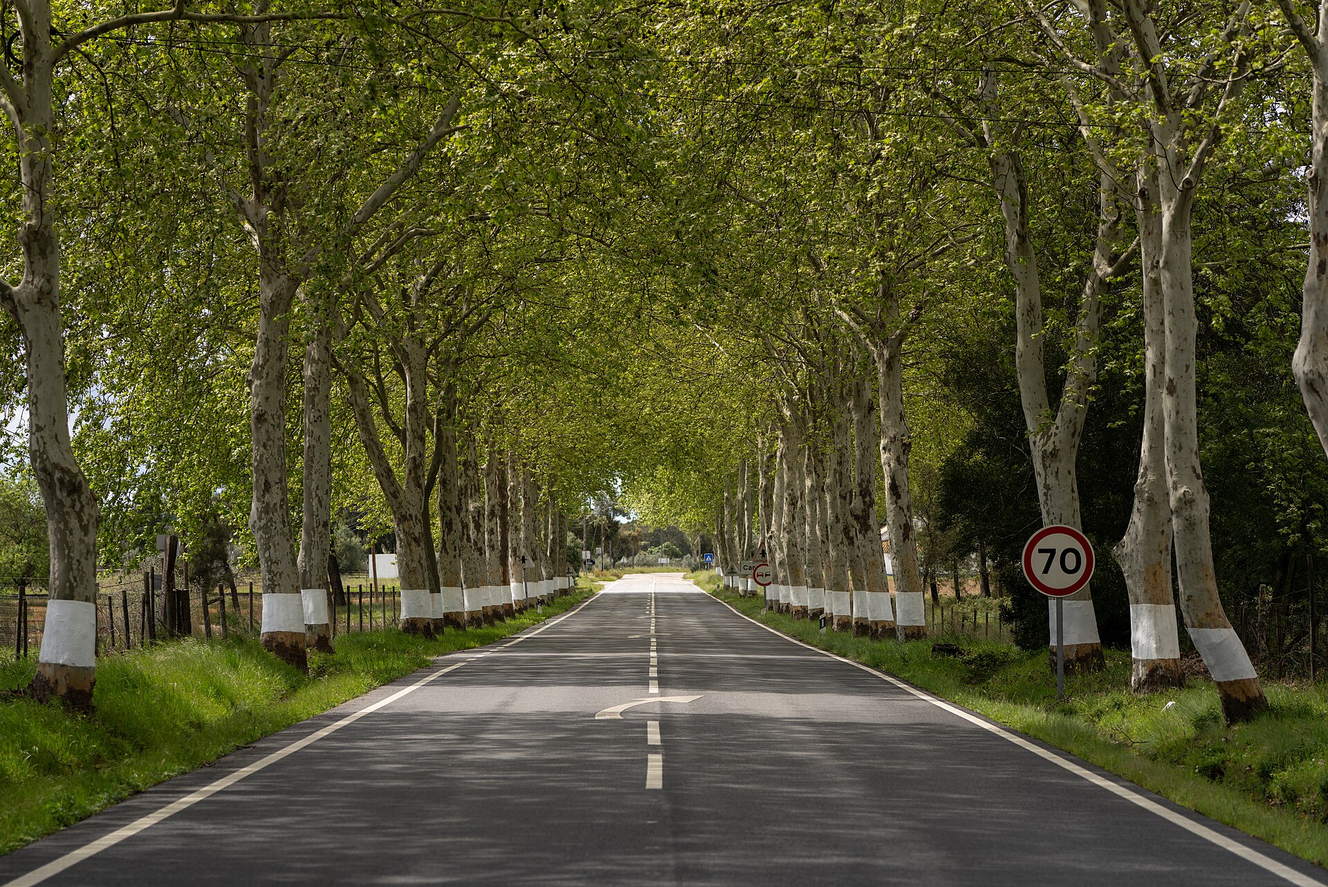
The landscape demands full attention: curves, gaps, agricultural vehicles, cyclists and local crossings. The driver must observe the road, not the view. Only stop at viewpoints and designated parks.
Harvest and seasonality
At the end of summer and beginning of autumn there is more agricultural activity and tourist demand. Book accommodation and visits, don't block access to the farmas and never enter private property without marking.
Sensible add-ons
Combine the road with a train trip on the Douro Line or a boat crossing, avoiding repeating the same day behind the wheel. Confirm works and conditioning before departure.
Between the river and the plateau
After Pinhão, the road progressively moves away from the best-known image of the Douro and climbs towards São João da Pesqueira, Vila Nova de Foz Côa and Almendra. This change of landscape is an essential part of the complete EN222. Plan supplies, meals and accommodation in advance on less populated stages and do not rely on times calculated solely by distance.