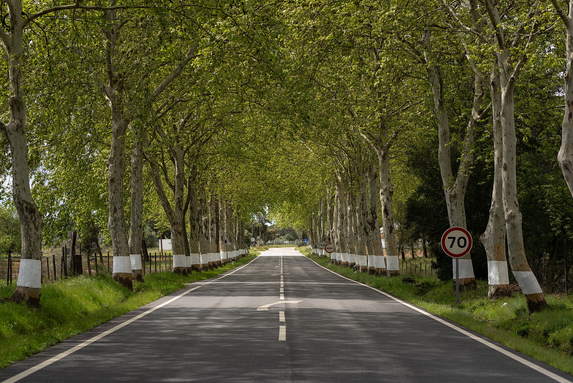
The road that crosses Portugal
The EN2 connects Chaves to Faro over approximately 739 km. More than just covering kilometers, the trip is worth the gradual change in landscape: mountains in the North, Douro and Dão valleys, pine forests in the Center, Alentejo plains and the Algarve mountains.
Recommended pace
Allow eight to ten days. A balanced division goes through Chaves, Vila Real, Viseu, the Penacova or Góis region, Sertã or Vila de Rei, Abrantes, Mora, Almodôvar and Faro. Detours to cities and monuments greatly increase the actual distance.
North: Chaves, Trás-os-Montes and Douro
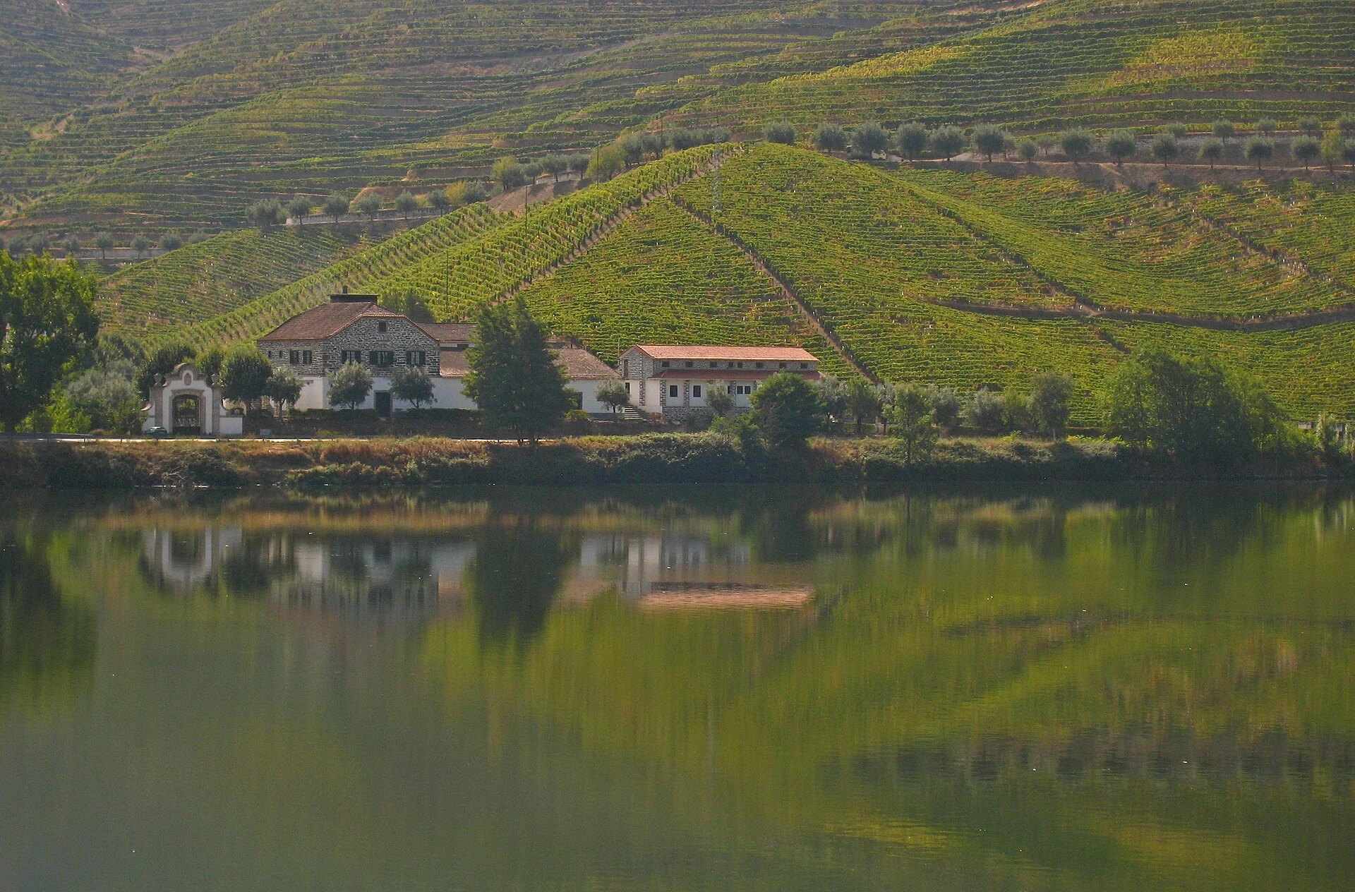
Start at kilometer zero, next to the Chaves Public Garden. Follow Vila Pouca de Aguiar and Vila Real, crossing mountainous territory. Between Santa Marta de Penaguião and Lamego, drive slowly and reserve time for authorized viewpoints and visitable producers.
Center: Dão, Mondego and geodesic center
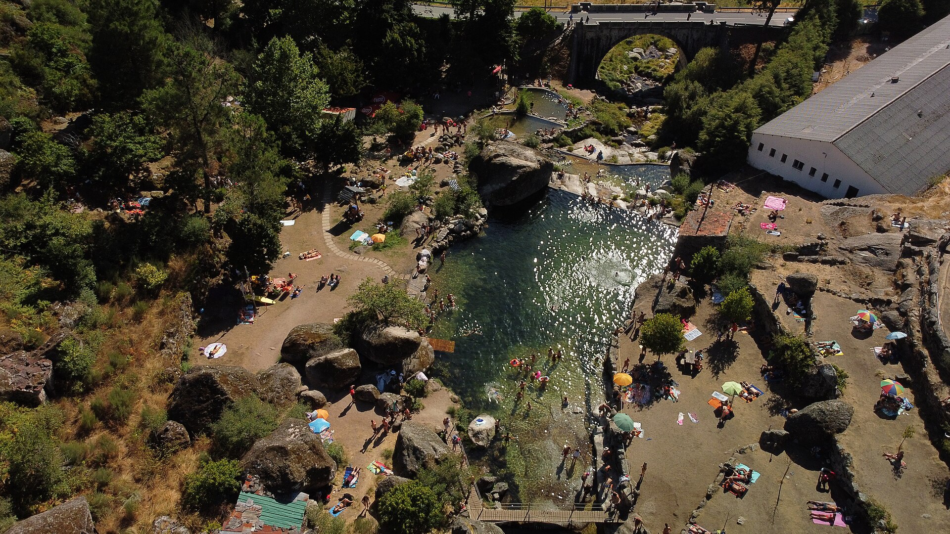
CContinue through Viseu, Santa Comba Dão and Penacova. The road approaches rivers, dams and old forest areas; confirm conditioning in summer. Vila de Rei allows a detour to the Geodesic Center of Portugal, but don't turn the day into a succession of hurried stops.
Alentejo and Algarve
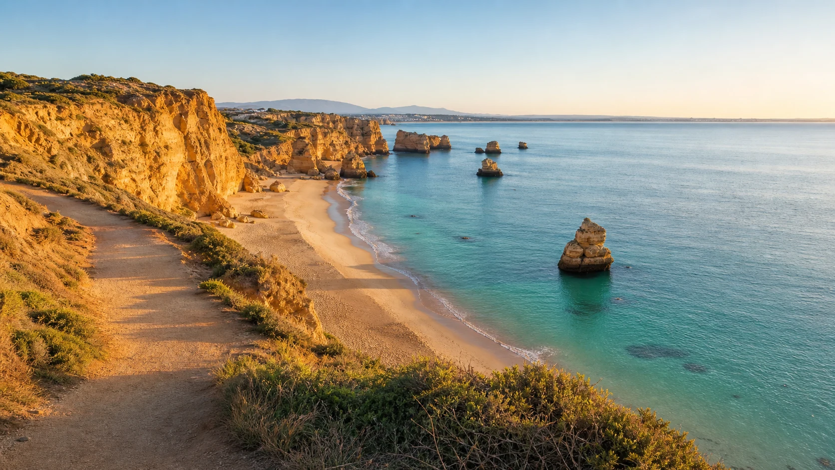
After Abrantes, the landscape opens up towards Mora, Montemor-o-Novo, Ferreira do Alentejo and Almodôvar. The crossing of the Algarve mountains leads to São Brás de Alportel and ends in Faro. Avoid the hottest hours and never depend on a single gas station in sparsely populated areas.
Prepare the trip
Check the vehicle, download offline maps and confirm works, fires, weather and accommodation. The road crosses towns: respect limits, residents, cyclists and motorcyclists. The EN2 passport is optional and must only be obtained at official points.